Our Services

The company offers an array of Geospatial services right from CAD Drafting to Drone Data Processing and BIM: Cartographic Vectorisation - Transform rasterized images (Aerial, Drone, Mobile LIDAR, Terrestrial LIDAR) into instanced georeferenced data ready to be enriched and optimised in GIS value added services

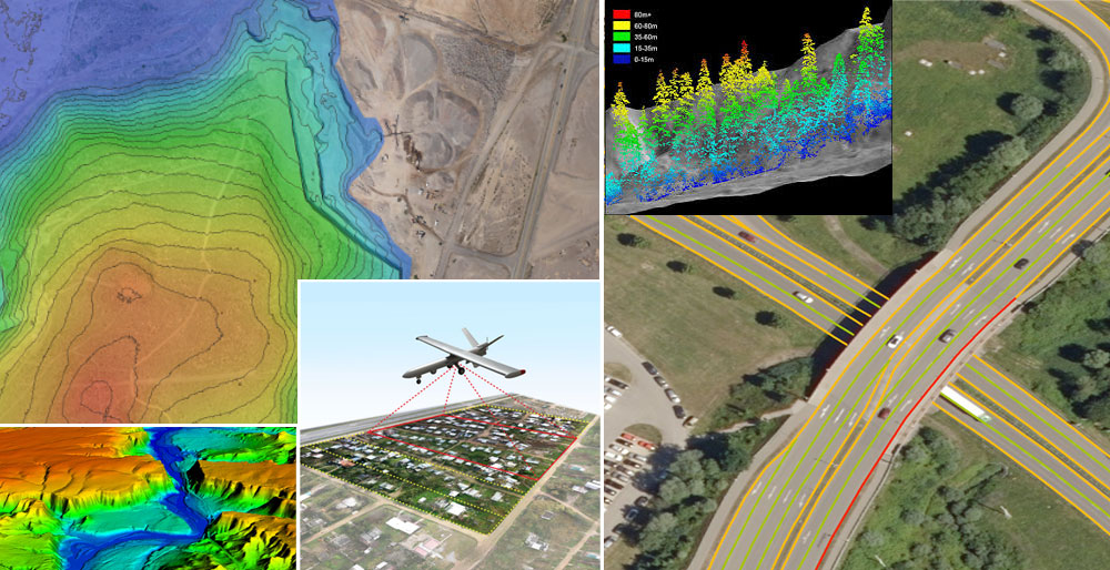
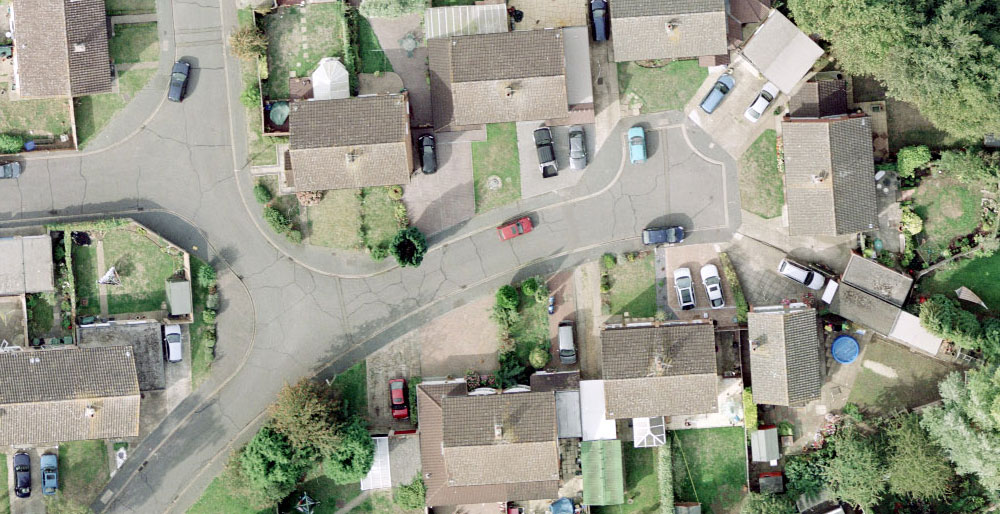
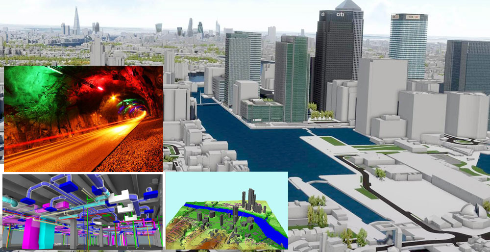
2D & 3D DIGITAL MAPPING – Add value to map using specified feature data captured through ground surveys, drone survey, LiDAR surveys, georeferenced data, and create 2D & 3D data models. Our specialised services include –

Geo Terrain Based services

  • Vectorisation and 2D and 3D CAD Drafting
  • Aerial Triangulation
  • Digital terrain modelling and Digital surface modelling
  • Contour Map & TIN Model
  • LIDAR Processing (Aerial, Mobile, terrestrial Data)
  • Point Cloud Processing including Power Line Mapping
  • Land Use & Land Classification
  • Feature Extraction including buildings, trees, roads, roadside feature, power lines etc.
  • Stereo Data Extraction – Feature Mapping

Image Processing Services

  • Orthophoto Creation
  • Remote Sensing/Change Detection
  • Geo referencing/Geo rectification

Building Information Modelling (BIM) Services

  • As-built 3D Models of buildings
  • PDF to BIM and CAD to BIM up to various LODs
  • Point Cloud to BIM
  • Point Cloud Registration
  • CAD conversion
  • Revit BIM Modelling
  • 3D Mesh Modelling
  • 3D As Built Modelling
Scroll to Top
WhatsApp WhatsApp us