Duranta Infotech (DIPL)- Mapping for a better tomorrow
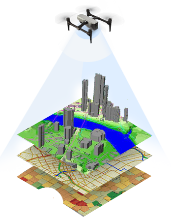
Today, GIS and mapping are essential components of every business.
Whether you’re navigating the complexities of Infrastructure development, urban planning, environmental conservation, transportation & logistics; Geographic Information Systems (GIS) & mapping tools provide the invaluable insights that can support in informed decision-making for the business.
At DIPL, we pride ourselves on our global footprint and cutting-edge technology. We are dedicated to excellence and operate on the principles of People, Process, Technology, Innovative solutions and Client centric approach. Riding on our strong tenets, we offer on time, cost effective and sustainable solutions to our global clients on a wide array of geospatial services.
Services and Offering
We offer comprehensive solutions, from conceptualization
to implementation, for the following sectors.
- Aerial Triangulation
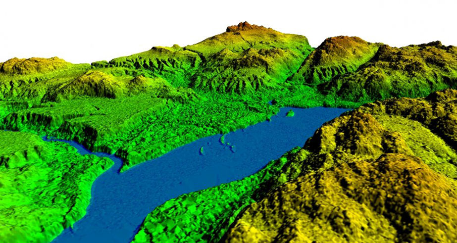
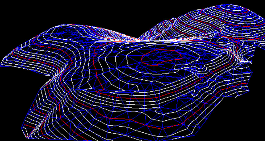
- Digital terrain modelling and Digital surface modelling
- Contour generation
- LIDAR Processing
- Digital Elevation Model
- Land Use Classification
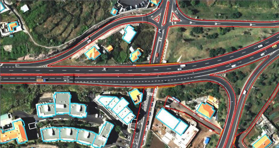
- Feature Extraction like buildings, trees, roads, roadside feature, power lines etc.
- Stereo Data Extraction – Feature Mapping
- Orthophoto Creation
- Remote Sensing/Change Detection
- Geo referencing/Geo rectification
From 2D to 3D CAD level of detail to BIM level of detail, the company is capable of delivering quick turnaround times and exceptionally high levels of quality at the most competitive prices. Our Broad services include:
- Cloud Points to BIM
- Point Cloud Registration
- CAD conversion
- Revit Modelling
- Revit family creation
- 3D Mesh Modelling
- 3D Modelling